Check elevation gain, stairs, and shade as well as distance. A short trail may still be a hard climb in the heat.
Honolulu
Lēʻahi (Diamond Head)
Distance
1.6 miles round trip
Terrain
Stairs, tunnel & exposed slopes
Effort
Steep climb · 560 ft gain
A summit trail through the crater’s historic military landscape, with views over the coast and city. Expect a climb, stairs, and exposed sections.
Nonresidents need an advance entry reservation, including when walking in or arriving by taxi, rideshare, or bus. Choose “Entry Only” if you are not parking inside, or “Parking and Entry” if you are. Hawaiʻi residents with valid state ID do not need reservations.
A short forest loop beneath a thick canopy, with less sun exposure than the coastal hikes. The trail starts inside Puʻu ʻUalakaʻa State Wayside.
Bring mosquito repellent. At the four-way junction, use the trail map to stay on the short loop; the connecting trails lead farther into the valley. Park in the designated lot and walk back down the park road to the signed trailhead.
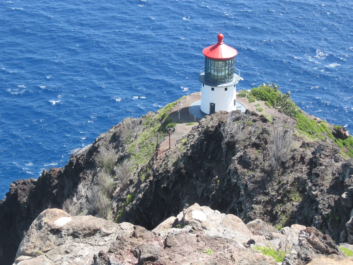
A paved climb above the ocean, with the red-roofed lighthouse below and views along the Windward coast. The broad path has a steady incline.
The trail is exposed, hot, and often windy. Bring water and sun protection, stay on the trail, and check park access before setting out. The lighthouse itself is off-limits.
A forest walk at the back of Mānoa Valley, ending at a waterfall viewing area. Rain keeps this valley green, but also leaves the trail wet and slippery.
Bring mosquito repellent. Stay behind the marked viewing boundary. The waterfall and pool are closed to entry because of rockfall risk. Check Nā Ala Hele’s current alerts before going, and do not use Lyon Arboretum parking for the hike.
A longer forest outing above Hālawa Valley, with openings toward the southern coastline. Look for koa and ʻōhiʻa among the planted eucalyptus and pines.
Bring mosquito repellent. Allow about 2½–3 hours. Roots, mud, a steep switchback, and a stream crossing require attention even though much of the climb is gradual. The trail finishes at the lower campgrounds; follow the park road back to your car.
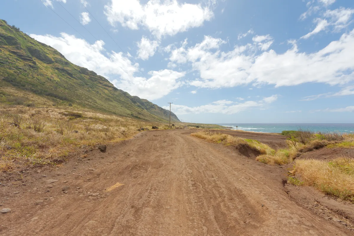
Follow the coastal dirt road toward Oʻahu’s western tip and its seabird reserve. This approach has little climbing, but the long walk is exposed to sun and wind.
Start where the paved road ends on the Mokulēʻia side and return the same way. Bring enough water for the full return walk. Stay on established paths around nesting birds, give wildlife space, and leave pets at home. Check access notices for this approach.
Approximate Waikīkī times · Hawaiʻi Standard Time (HST)
Sunrise and sunset through the year
Approximate Waikīkī times on the 15th of the months shown, 2026 · HST
Month
Sunrise
Sunset
January
7:11 AM
6:09 PM
April
6:13 AM
6:50 PM
July
5:58 AM
7:17 PM
October
6:26 AM
6:08 PM
Sunrise
Check park opening hours before planning a sunrise hike; some trail gates open after dawn.
Sunset
You can watch the evening sky from #720’s west-facing lanai. At the beach, stay a little past sunset for the afterglow.
Photography
People & cultural places
Ask before photographing a person or ceremony, and follow any posted photography restrictions.
Wildlife
Use zoom rather than moving closer. NOAA recommends at least 10 feet from sea turtles, 50 feet from monk seals, and 150 feet from a mother seal with a pup. Stay behind any barriers and never touch, chase, or feed an animal.

.jpg)